
Clay Bank 4.1 mile circular

Map of route (Maps provided by TalkyToaster https://talkytoaster.me.uk)
Of all the walks on here this is the one I have completed the most number of times, it runs near the route of the Cleveland Way. The walk takes you through managed woodland and gives views of Roseberry Topping, Captain Cooks Monument and out across industrial Teesside towards the North Sea.
Most people park in the main carpark (Start A) at the top of Clay Bank at the Ingleby Greenhow turning but I prefer to use the lower carpark (Start B) then it’s a short walk along the route to the forestry road. The walk then follows the forestry road up a slight incline, depending on the time of year you have views through the trees across the valley but when the trees are in full leaf the canopy is too dense to see through. The path merges with another one that runs parallel then continues to undulate through the trees. Giving more glimpses of the Valley below and the farm houses
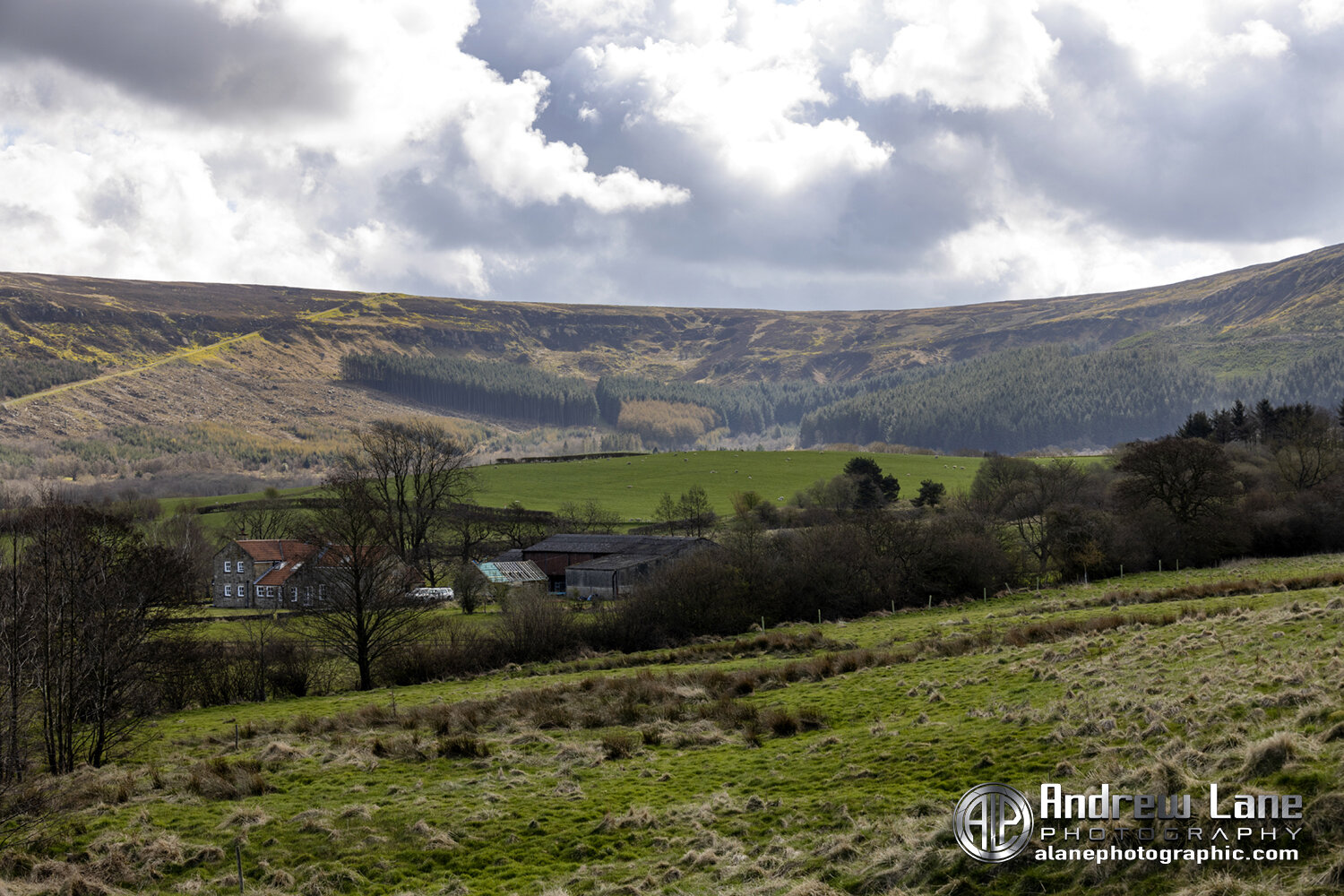
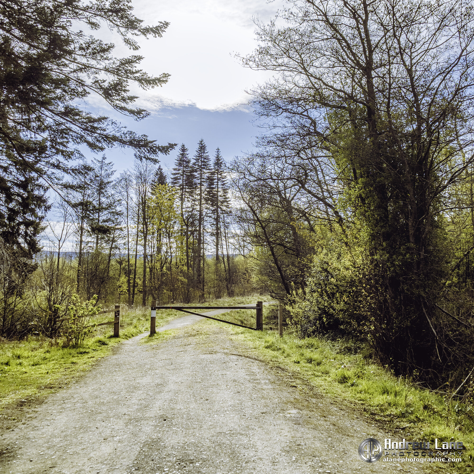
Approximatly half way the path carry’s on into the distance but we take a sharp right turn and climb upwards with trees on the left (unless by the time you read this they have been chopped down, this is a working woodland after all). However before starting the ascent there is a five bar gate and this is the perfect spot for a tea break. The gate gives views out across farmland to the steep valley side opposite.

The path continues on but we will take a right turn here up the hill, but not before taking a tea break at the 5 bar gate on the left under the tree

What could be better than a cup of tea and this view ?

After our tea break we tangle the climb along the side of these trees opposite the gate
At the top of the climb is a T junction we are going to turn right and double back on ourselves but at a much higher elevation. On several occasion on this stretch of the walk I have seen deer. There are several viewing points along this stretch again giving views of Roseberry Topping and Captain cooks monument.

The path continues with views ahead of the Cleveland Way

The path descents and bends to the right eventually leading to the road, follow the road to the car part at Start A take the steep descending road back to the Start B